Boundaries
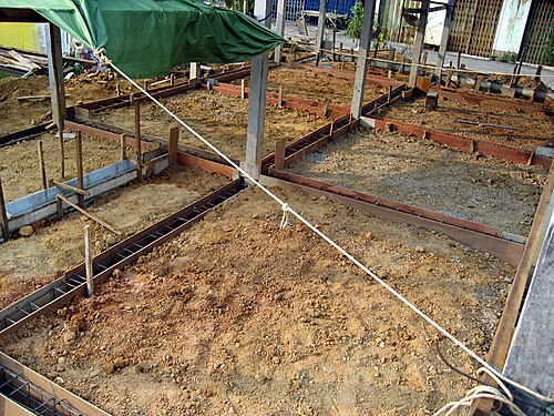
The edges of the plot, fixed and marked.
Services / Survey and digital survey
Every good plan starts with the true shape of the land. We measure the boundaries and levels on site with digital survey equipment.
Plot boundaries and levels, measured on site.
The edges of the plot, fixed and marked.
How the land rises and falls across the site.
The survey delivered as an accurate plan.
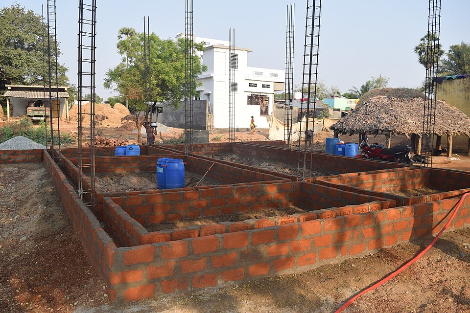
The building position marked on the ground.
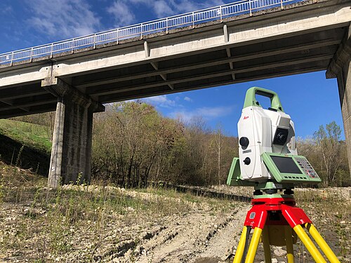
We walk the land with you and the papers.
Points are recorded across the plot.
A drawing of the plot to design from.
Services people often take together with survey and digital survey.
Tell us what you plan to build or change, and where the plot is. Message, call or visit the office in Balussery.

Hello! What can we help you with?